
The Equator Isn't Exactly Where You Think
Ecuador's Mitad del Mundo monument sits about 240 meters south of the real equator that GPS marks today. And the story doesn't end there.
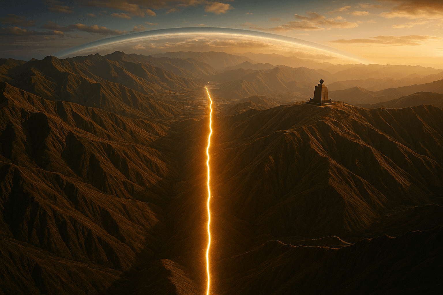
On the outskirts of Quito there is a yellow line painted on the ground, a thirty-meter stone monument, and thousands of tourists every year posing with one foot in each hemisphere. This is the Mitad del Mundo, "the Middle of the World," where Ecuador celebrates the equator slicing the country in two. There is just one problem: the real equator does not run through it. It runs about 240 meters farther north, and the tourist straddling that yellow stripe is actually standing entirely in the southern hemisphere. The mistake is not a modern slip-up: it is the fingerprint of one of the most ambitious scientific expeditions in history, which measured the planet with astonishing accuracy — for what it had on hand in the eighteenth century.
The expedition that came to measure the Earth
To understand the error you have to go back to 1736. Back then, half of Europe was arguing over a question that now sounds like a school exam: is the Earth a perfect sphere, or is it flattened at the poles? Isaac Newton had predicted that rotation should make it bulge at the equator, but French astronomers were measuring the exact opposite. To settle the dispute, the Paris Academy of Sciences sent two expeditions to the ends of the earth: one to Lapland, near the pole, and one to the Audiencia de Quito, on the equator.
The French Geodesic Mission that reached what is now Ecuador, led by Charles Marie de La Condamine, spent nearly a decade measuring an arc of meridian between the mountains, using theodolites, surveyor's chains and triangles traced from peak to peak. Its data helped confirm that Newton was right: the planet is an oblate spheroid, wider around the equator than from pole to pole. Along the way, those scientists fixed where they believed latitude zero lay. For the tools of the 1740s, their calculation was extraordinarily good. But not perfect.
The 240 meters GPS uncovered
The present monument was built in the mid-twentieth century on the position inherited from those measurements. And the story might have stopped there if, decades later, a tool La Condamine could not even dream of had not appeared: the network of satellites we now carry in our pockets. When GPS and the modern geodetic system (the WGS84 datum used by maps and navigators) measured the exact point of latitude 0°, the verdict was awkward: the real equator runs about 240 meters north of the monument. The country's most famous yellow line is painted, quite literally, in the wrong place.
The gap is nobody's fault in particular. It is the distance between what a wooden theodolite could measure and what a constellation of atomic-clock satellites can, the same leap in precision we explained in how GPS works and why your phone knows where you are. A few meters from the official monument, a private museum — the Inti Ñan — set up shop closer to the line GPS marks, and that is where visitors go for the photo on the "true" equator. Though, to be fair, that second spot does not land with millimeter precision on the line either: the equator is a geometric idea, not a ditch you can step into.
The equator isn't even a line on a sphere
Here comes the second surprise, deeper than the misplaced monument. We tend to picture the Earth as a ball and the equator as the belt around its widest part. The second half is true; the first is not, quite. As La Condamine's own mission proved, the Earth is not a sphere: it spins, and that rotation bulges it out around the middle. The diameter measured across the equator is about 43 kilometers greater than the one from pole to pole. It is not a ball: it is a slightly squashed orange.
That equatorial belly has a consequence that defies intuition. Someone standing at sea level on the equator is about 21 kilometers farther from the center of the Earth than someone standing at sea level at a pole. The equator is not just the longest line on the planet: it is also the most "elevated" with respect to the world's core, even though the sea there looks as flat as on any other coast.
Why the world's tallest mountain isn't in the Himalayas
From that bulge comes one of every Ecuadorian's favorite facts. Ask which mountain is the tallest and almost everyone will say Everest, and by the usual measure — height above sea level — they are right. But if the question becomes which summit is farthest from the center of the Earth, the winner is Chimborazo, the Ecuadorian volcano that rises almost on the equator. Although its peak sits some 2,400 meters below Everest's when measured from the sea, it starts on the planet's belly: its highest point is about 2,100 meters farther from the Earth's center than the summit of Everest.
Put another way: the point of the solid surface closest to outer space is not in Asia but in the Ecuadorian Andes, thanks to that bulging equator La Condamine set out to measure. It is the same Andean altitude that, for reasons of pressure, makes water boil cooler in Quito than in Guayaquil: Ecuador's geography is full of these paradoxes where the obvious turns out to be false.
A line that moves
As if that weren't enough, the equator does not stay perfectly still either. Latitude zero is defined from the Earth's axis of rotation, and that axis wobbles slightly over the years — the planet nods by a few meters, like a spinning top losing its balance. Add the drift of the tectonic plates and these wobbles, and the "instantaneous" position of the equator shifts by a few meters over time. Not enough to relocate the monument, but enough to remind us that even the most solemn lines on our maps are human conventions, not grooves carved into the stone of the world.
So the next time you see someone's photo with one foot in each hemisphere at the Middle of the World, you know the secret: both feet are probably in the south, the Earth beneath them is bulging rather than round, and the line they are chasing is not a stripe but an imaginary plane that moves. Geography, like the aviation maps that make the shortest routes look like crooked curves, is almost never as simple as we draw it.
References
- "Ciudad Mitad del Mundo," Wikipedia. en.wikipedia.org
- "French Geodesic Mission," Wikipedia. en.wikipedia.org
- "Equatorial bulge," Wikipedia. en.wikipedia.org
- "Summits farthest from the Earth's center," Wikipedia. en.wikipedia.org
Enjoy stories where science contradicts the obvious? Continue with why water boils cooler at altitude or explore the whole Science & Technology section.
Categories
The books · born from this blog
Atahualpa con su abrigo de pelo de murciélago
y otras 49 historias verdaderas que parecen mentira
Available on Amazon
Tocar madera
Pequeña historia de las supersticiones que el mundo no ha podido soltar
Available on Amazon
100 futuros
Cien escenarios del mundo que viene con la inteligencia artificial
Available on AmazonYou may also like
Why veins look blue when your blood is red
Human blood is never blue—it is always red. So why do veins look blue under the skin? The answer lies in how light travels through your body and how you see.

The nocebo effect: when expecting harm creates it
The nocebo effect is the placebo's dark twin: believing a treatment will hurt can make it hurt. Its origin, real cases and what science says.
The History of the Match: Fire in Your Pocket
The friction match was born by accident in 1826, poisoned thousands of factory women, and only later became the safe fire we carry in our pocket.