
The Piri Reis Map: What It Really Shows, and What It Doesn't
The 1513 Piri Reis map is cited as proof of an ice-free Antarctica. What an Ottoman admiral actually drew is more interesting than the myth.
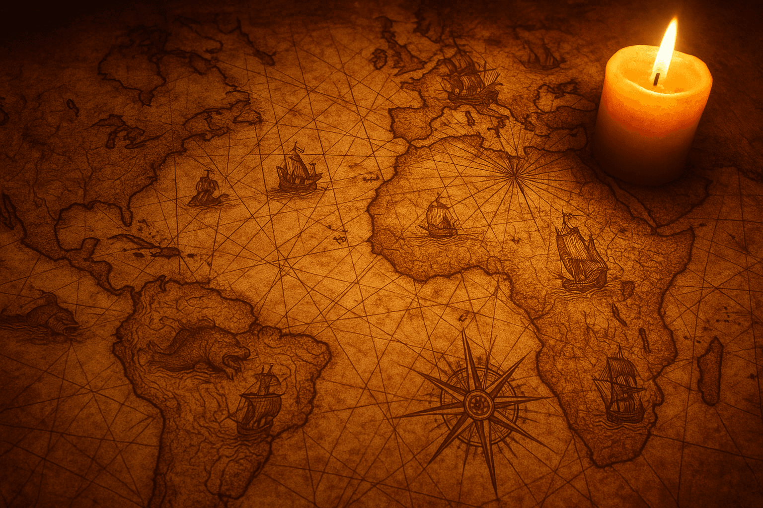
In 1929, while cataloguing the archives of Topkapi Palace in Istanbul, a German theologian unrolled a piece of gazelle skin painted with coastlines, islands and sea monsters. It was signed by an Ottoman admiral named Piri Reis and dated 1513, barely twenty-one years after Columbus's first voyage. Ever since, the Piri Reis map has become a favorite star of documentaries about lost civilizations: they say it shows Antarctica free of ice, centuries before anyone laid eyes on it. The reality is less spectacular and, at the same time, far more fascinating than the legend.
Who Piri Reis was
Piri Reis (Reis means "captain" or "admiral" in Turkish) was a 16th-century Ottoman sailor, nephew of a famous corsair named Kemal Reis, at whose side he learned to navigate the Mediterranean by raiding Christian coasts. Over the years he rose to admiral of the Ottoman fleet and wrote the Kitab-ı Bahriye, the "Book of the Sea": an exhaustive navigation guide with descriptions of ports, currents and charts of nearly the whole Mediterranean. It did not end well: around 1553, an old man by then, he was beheaded on the sultan's orders after refusing to continue a military campaign against the Portuguese in the Persian Gulf.
What survives of his famous world map is only a fragment: the western third, about 90 by 63 centimeters of gazelle skin. It shows the coasts of Europe and Africa on the right, and across the Atlantic a slice of South America and the Caribbean. The rest of the map — Asia, Europe, the Pacific — was lost, probably because the document was cut down to be reused for something else.
Where the map came from
The most interesting part is not the geography but the notes Piri Reis wrote in the margins. There he explains, with a candor unusual for his time, how he made the map: he explored none of what he drew. He compiled it from around twenty older charts, some — he says — dating back to the age of Alexander the Great, others Arab and Portuguese, and one in particular that has made him famous among historians.
According to his notes, to draw the New World he used a map made by a Spanish sailor who had taken part in the voyages of Christopher Columbus and later fell prisoner to the Ottomans. That Columbus map is lost today: no chart drawn by the Genoese admiral himself survives. If Piri Reis is telling the truth — and almost every specialist believes he is — his parchment is the only surviving reflection of how Columbus saw the world he had just found. That is why the Caribbean appears drawn in remarkable detail: that region comes from the Columbian source. It is a genuine cartographic treasure, with no need to invent mysteries for it.
The ice-free Antarctica myth
The modern legend begins in 1966, when the American professor Charles Hapgood published Maps of the Ancient Sea Kings. Hapgood argued that the landmass at the bottom of the map was the coast of Queen Maud Land, in Antarctica, and drawn moreover without the ice cap that covers it today. Since Antarctica was not sighted until 1820, the conclusion he drew was dizzying: a lost, advanced civilization must have mapped the continent thousands of years earlier, when it was still ice-free, and Piri Reis merely copied its maps.
The idea was irresistible for sensationalist media. Erich von Däniken and the whole "ancient astronauts" current adopted it at once: to them, the map's impossible accuracy pointed straight to extraterrestrial visitors. The Piri Reis map went from museum jewel to a wild card in any documentary about the unexplained, just like other enigmas where the numbers being cited simply don't add up.
What cartographers say
The trouble is that Hapgood's theory does not survive serious scrutiny. To begin with, Antarctica has been buried under more than a kilometer of ice for millions of years; no human civilization could have seen it ice-free. And the map's "Antarctic" coast fits a far more earthly explanation much better: it is southern South America. Patagonia appears bent almost ninety degrees to the east, and the reason is purely physical: the mapmaker ran out of gazelle skin and twisted the coast so it would fit along the edge of the parchment.
On top of that comes the old idea of Terra Australis Incognita, a southern continent that geographers had been imagining since the Greeks as a counterweight to balance the lands of the north. Many maps of the 16th and 17th centuries drew that phantom land in the south without anyone having set foot on it. Piri Reis's supposed "Antarctica" is a blend of the twisted Patagonian coast and that theoretical expectation, not a memory of a frozen continent. The map is also full of errors, nonexistent islands and fabulous creatures: precise in some areas and highly fanciful in others, exactly what you would expect from a compilation of uneven sources in 1513.
Why the real map still matters
Stripping away the myth does not impoverish the map: it returns it to its place, which is remarkable in itself. The Piri Reis map is one of the first maps to place South America at its correct longitude relative to Africa, a serious achievement for 1513, when Europe was barely beginning to digest the existence of an entire continent. It is also the closest window we have onto Columbus's lost maps, and a testimony to how geographic knowledge leapt between cultures: an Ottoman admiral copying a Spanish prisoner who had sailed with a Genoese in the service of Spain.
The real lesson of the map is not that someone knew Antarctica ahead of time, but how easy it is to project onto an old drawing whatever one wants to find. Just as with the equator, which isn't where everyone thinks either, or with flight paths that look like absurd curves on the map, cartography is full of traps for intuition. The Piri Reis map needs no aliens: it is enough for it to be what it is, a fragment of gazelle skin that preserves the echo of Europe's first look at the Americas.
References
- "Piri Reis map," Wikipedia. en.wikipedia.org
- "Piri Reis," Wikipedia. en.wikipedia.org
- "El mapa de Colón que copió un pirata turco," Agencia SINC. agenciasinc.es
- "Did the Piri Reis map show Antarctica before its discovery?," GeoGarage blog. blog.geogarage.com
Do you enjoy stories where the famous fact turns out to be false? Continue with the equator that isn't where you think or explore the whole History section.
Categories
The books · born from this blog
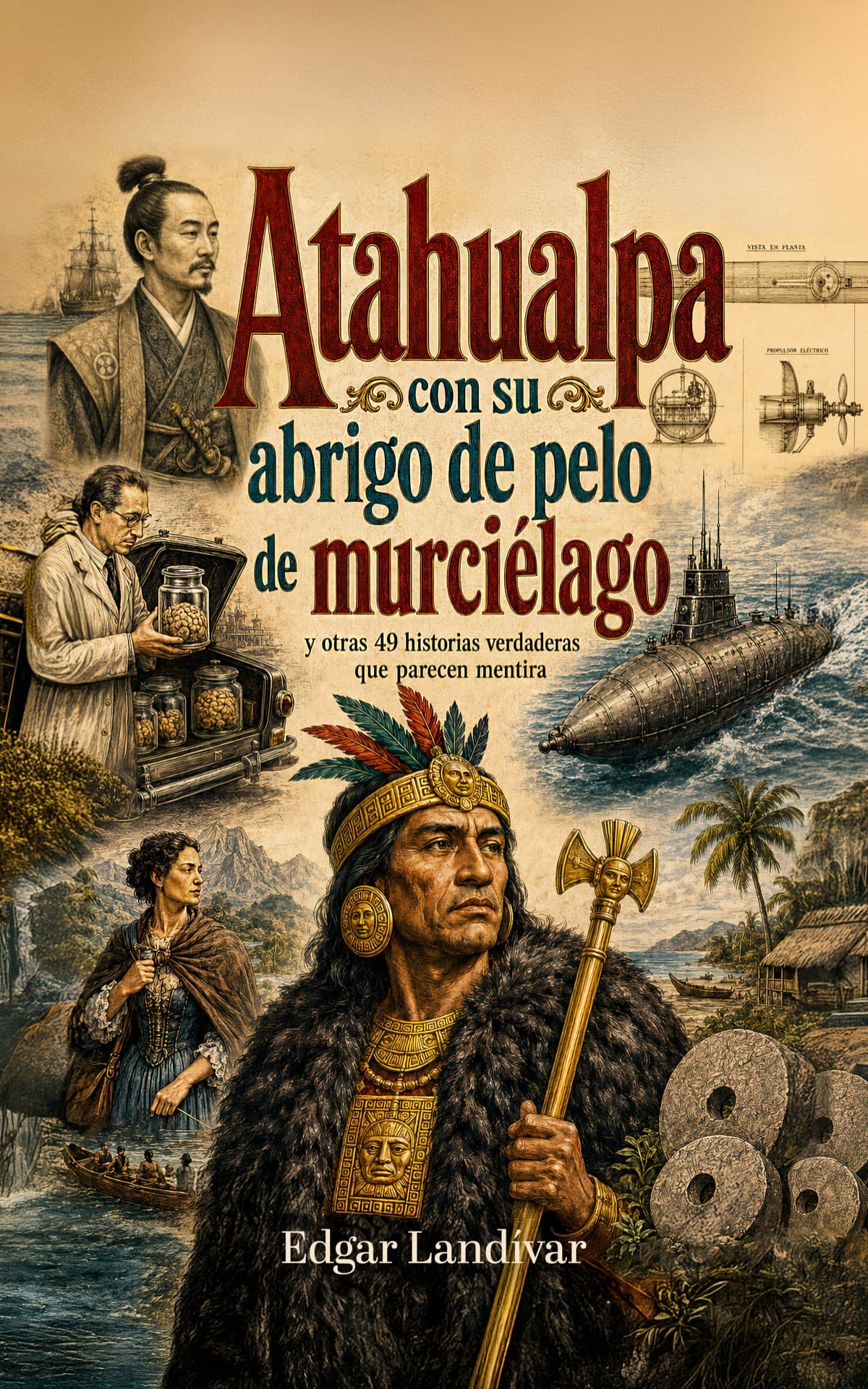
Atahualpa con su abrigo de pelo de murciélago
y otras 49 historias verdaderas que parecen mentira
Available on Amazon
Tocar madera
Pequeña historia de las supersticiones que el mundo no ha podido soltar
Available on Amazon
100 futuros
Cien escenarios del mundo que viene con la inteligencia artificial
Available on AmazonYou may also like
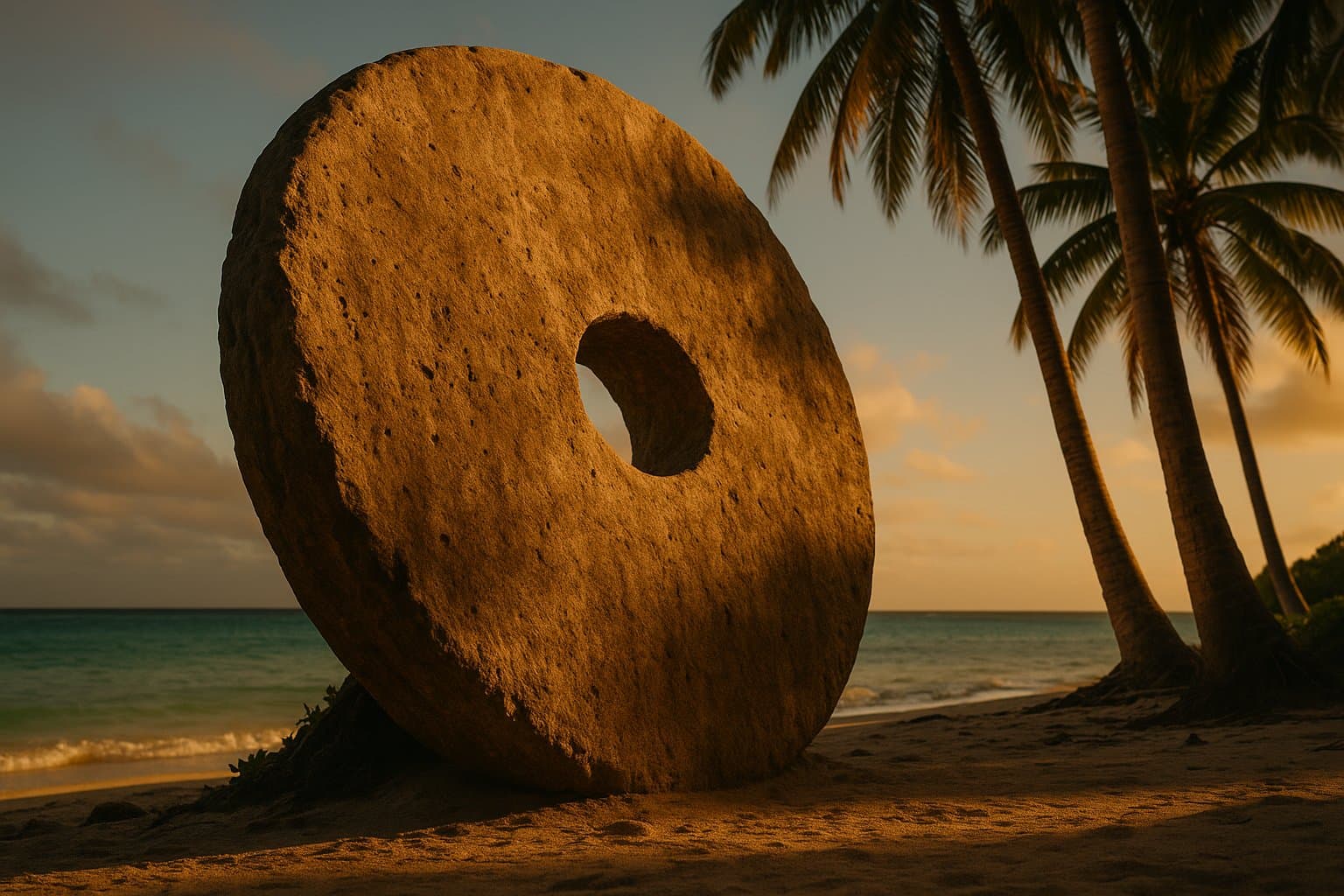
The Giant Stones of Yap and What Money Really Is
On a tiny Pacific island, money was made of giant stones — some so heavy they never moved, and one of them sat at the bottom of the sea.

Rubber Before Goodyear: The Gum That Melted
Before vulcanization, rubber was a gum that melted in summer and cracked in winter. From the Maya to Goodyear, here's how it was finally tamed.

Porcelain: the Chinese secret Europe tried to steal
For centuries Europe paid fortunes for Chinese porcelain without knowing how it was made. This is the story of a hundred-year industrial espionage.